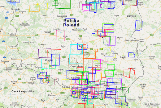
Compass – Polish way from orienteering to a publishing house
Recently, Locus Map map portfolio has been growing like mushrooms after rain. Let's sum it up - in the USA,…
Read Story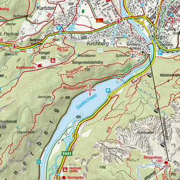
Kompass as the definition of outdoor maps over 60 years
Some time ago in a new version of Locus we introduced a complete portfolio of outdoor maps of the German-Austrian…
Read Story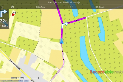
Another playing with Locus navigation settings
Last time here we presented tips how to set notifications of leaving a route, switch to the guidance mode or…
Read Story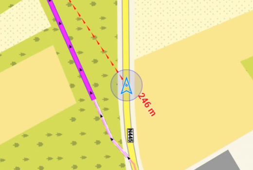
How to set alerts for leaving your navigation route?
You know it, you're riding your bike in the woods by Locus navigation and there are trees fallen on the…
Read StoryLocus – a partner of worldwide sport trackers
Most of modern active sporty people use at least some of many available sport tracking devices or services. Being that…
Read Story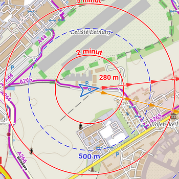
What are map objects and how can I set them?
You can visualize a lot of things above the map in Locus. Geocaches, your planned routes or recorded tracks, all…
Read Story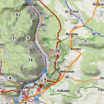
What is GPX and what can you do with it in Locus?
What is GPX? You must have met this GPX abbreviation many times before when working with tracks or points. GPX importing…
Read Story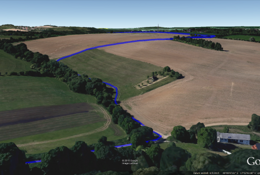
How to exploit the potential of Locus in Google Earth?
Locus Map can cooperate with many applications. Being it various map programs, sport trackers, add-ons from our own dev team…
Read StoryWhere is MapQuest?
As you have obviously noticed, MapQuest maps are not in Locus online map portfolio since 7/11. The provider of these…
Read Story