Issues with GPS? Check a few tips how to tackle them.
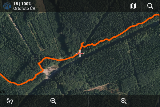
Sometimes it happens that your track recording is faulty - it is inaccurate, contains "bumps" or "bounces" or is inappropriately…
Read Story
Track part stats and cloud backups in new Locus Map 3.28!
We in Locus team have resolved that you deserve one more treat for this Christmas. Besides the 50% sale of…
Read Story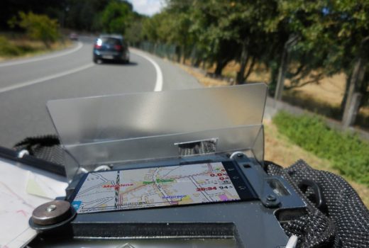
Fátima pilgrimage with Locus
by Josef Žajdlík This year's bike pilgrimage organized by Orel Uherský Brod lead to Fátima in Portugal, starting in Vega…
Read Story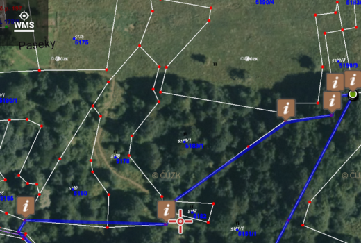
Viewing the Land Register, pinning land plot area… no problem with Locus.
"Hey bro, you work with these maps, eh?...", recently a friend of mine asked me and I was about to explain…
Read Story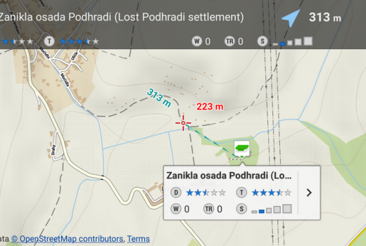
A few tips for your Locus geocaching workflow
Locus is here (besides others) so that you can fully focus on your geocache hunt - so that you don't…
Read Story
Locus Map Pro Webinare erfolgreich angelaufen
Sorry, the article is available only in German.
Read Story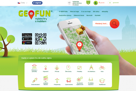
Geofun – kdo si hraje, nezlobí, a také se mnohému naučí
Sorry, this entry is only available in Čeština.
Read Story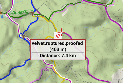
What3words, the simplest global addressing system came to Locus
Imagine every place on Earth has its own simple address. Any torn hut in the middle of a desert, a…
Read Story