![]()
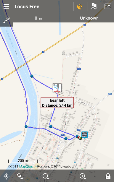
As you have obviously noticed, MapQuest maps are not in Locus online map portfolio since 7/11. The provider of these maps that have been part of Locus offer since the very beginning of the app radically changed the terms of use of their map data. And to such a degree that its return is not currently possible even at the cost of charging the source. At first it seemed to require just some paid download plans but later MapQuest completely disabled its direct links to its map servers and started to force developers to use its own solution (SDK). This approach is unacceptable for us, unfortunately, from a technical viewpoint, therefore we have to say goodbye to MapQuest maps (MapQuest online routing service necessary for route planning and navigation remains available in Locus).
What to replace it with?
The basic MapQuest topo maps can be fully replaced by any maps based on OSM project – best by our Asamm LoMaps that are used offline and can be switched into several map themes. MapQuest wasn’t much detailed and in areas outside US it was quite outdated, however, it was set as default online map in some states for the first Locus app start. In such cases it was replaced by OpenStreetMap Outdoor map.
Not so easily dispensable is, however, MapQuest satellite map that was in Locus portfolio in many countries the only one of its kind. Especially in above mentioned USA or Germany for instance. Therefore, we’ll welcome any tips for quality satellite/aerial maps of the USA, Germany and other European countries except Czechia and Austria – they’re covered by their government-backed projects ČÚZK and Basemap.at.
We apologize to all who miss MapQuest maps – the change was not our intention. Thank you for understanding.
mapquest


16 Comments
Is ther a reason we cant have the ability to use our own google api? I understand why you cannot provide the access to everyone, but i have my own api from Google thai use on fully approved web properties.
We were planning to make a workaround with personal APIs but MapQuest disabled all direct links to the tile storage - the only access to their tiles are via their own API/SDK solution that we refused to implement.
I just want to offer my continuing respect and loyalty. Locus Pro remains the best application for mapping, routing, navigation, etc of anything I've seen, either mobile or desktop.
In guessing that the maps used by Google are just as restricted at this point as are Mapquest maps now. In not sure what Apple is using, or what their terms would be to share, but they appear to be using something different from Google. Just thoughts.
I do appreciate the 3 free LoMaps, though so far I've only downloaded the one for my home state. I've not decided yet which others would be of best benefit to me.
Anyway, please be aware that I am not a fickle user like a number of reviews. Locus is still the best, and Mapquest's arrogance in this case week not dissuade me from my resolution to keep Locus as my map of choice in all cases. I look forward to the eventual return of satellite images from a reasonable alternate source, and I compliment Asamm on developing a to-notch application for android. Thank you!
Hi Ken,
thank you for your kind words. A you say, Google maps usage is restricted in similar way. Apple products use very poorly furnished Apple maps (see e.g. http://www.tomshardware.com/picturestory/607-ios-maps-fail.html). We sincerely hope you'll find a replacement for MapQuest maps that you'll be happy with.
For satellite/aerial maps of Poland, check Geoportal
Yes, we've done so. Now we are solving their terms of use but we believe we'll manage.
Bing provides high quality aerial images in Germany and most other countries. Don't know the exact terms of use, though. I only use it for OpenStreetMap mapping.
Bing terms of use in third party apps are sort of similar to those of MapQuest...
For aerial imagery of the USA, have you checked into what the source is for the BackCountry Navigator app? I believe they use the US Geologic Survey and caltopo. I hope you're able to come to terms with an imagery provider.
Hi,
thanks for the tip. We'll have a look at their terms of use.
Glad to see you're able to provide the USGS aerial imagery.
Swiss Topo ist seit Kurzem frei zugänglich.
https://map.geo.admin.ch/?bgLayer=ch.swisstopo.pixelkarte-farbe&lang=de&zoom=6&Y=673500.00&X=146610.00&time_current=latest&topic=ech&layers=ch.swisstopo.swisstlm3d-wanderwege
Swisstopo frei zugänglich ist nur auf ihrer Website.
Have you looked at MapBox
Hi, yes we did but MapBox requires their own SDK library implemented in Locus which is the way similar to the MapQuest and which we'd like to avoid.
Satellite maps for Sweeden, Norway, Denmark? Any chance og getting this? Othervise I really enjoy Locus (former Viewranger user)