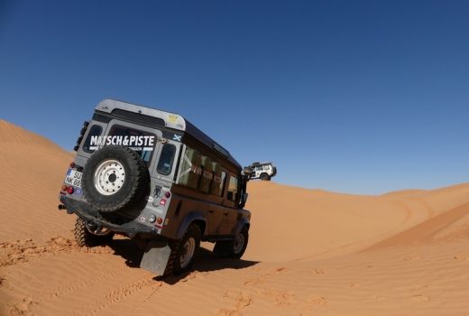
Offroad-Navigation in Deserts with Locus Map Pro
by Andreas Woithon, Matsch&Piste There are a few demanding terrains for navigation on this planet. Deserts belong to them. Deserts…
Read Story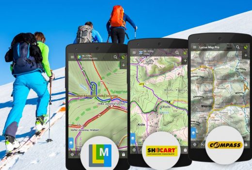
Enjoy your Christmas with LoMaps, SHOCart and Compass maps for half the price!
It's everywhere around us again. In the streets, shopping malls, TV, e-shops... Xmas trees, glittering decorations, carols, hordes of Santas...…
Read Story
Winter has come. Time to switch to ski maps!
Looking out of the window we're sure it's here. Overcast sky, temperatures dropped to zero, freezing drizzles. That's the less…
Read Story
Error in the map? Report it in Locus!
There is no map in the world that could be marked as flawless. Each map is just a momentary image…
Read Story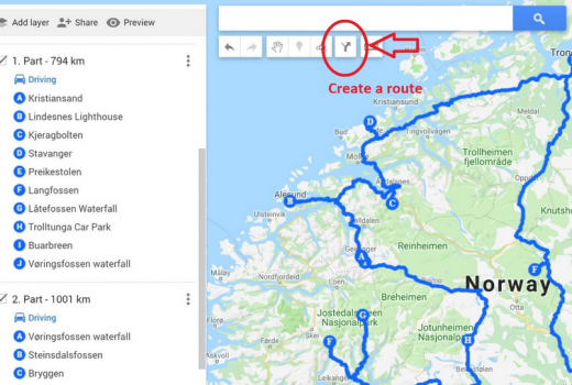
How to import custom points from Google Maps to Locus and vice versa
a guest blog post by Matej Halouska and Adriana Plotzerova We have been actively traveling for many years and Locus…
Read Story
How to make your own perfect backcountry map
Obviously, many of you, hikers, mountain bikers, crosscountry skiers or other outdoor sports fans have already encountered a situation when…
Read Story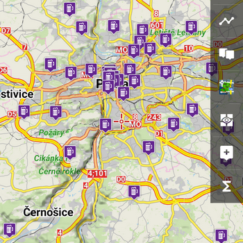
Map doesn’t contain info you need? Public POI databases may help.
Modern vector maps like our LoMaps or partnering OpenAndroMaps contain lots of meta information about various POIs (points of interest). A…
Read Story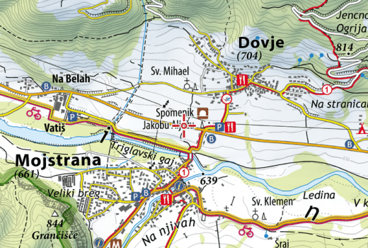
Detailed hiking maps by Slovenian Alpine Association finally in Locus
Maps of Alpine Association of Slovenia (PZS - Planinska zveza Slovenije) in the map scale 1 : 25.000 are one…
Read Story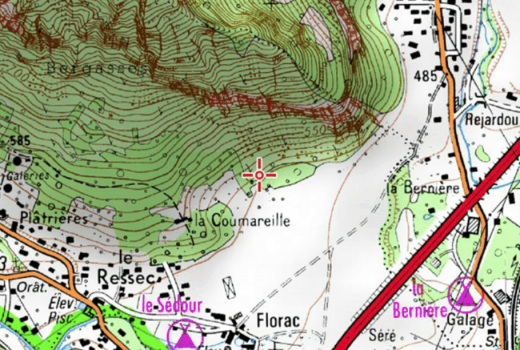
Hiking season in France starts with IGN offline maps in Locus
As you may have known, so far, maps of the well-known French publisher IGN or, more precisely, of their web…
Read Story