Hi there,
can you feel it too? Despite the skiing season in the Alps has not finished yet, the spring has quietly crept up behind the door and somewhere it is even knocking on it. And that’s the greatest impulse for us to come up with a new Locus Map release. And what we cooked? Here’s the menu:
Share your position on a new Live-tracking web
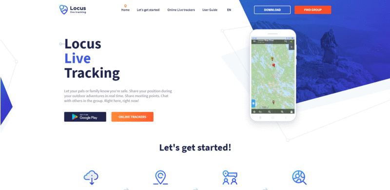
The first big thing we are releasing with the brand new Locus Map is an extra-application improvement – we’ve relaunched our live-tracking website. Check it out at Live-tracking.locusmap.app. Everything on it is new:
- new design, graphics, texts
- map viewer of both public live tracking and private group tracking
- quick and concise guide how to establish your live tracking session
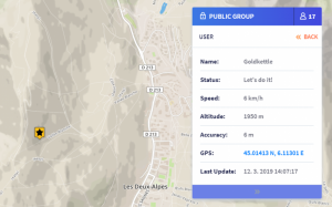
Now you can view not only public live trackers but also your own private groups or groups to which you receive an invitation. Just tap “Find group” and insert your access code:
A lot of useful information is available about live trackers on the map screen – their speed, altitude, even accuracy of their GPS:

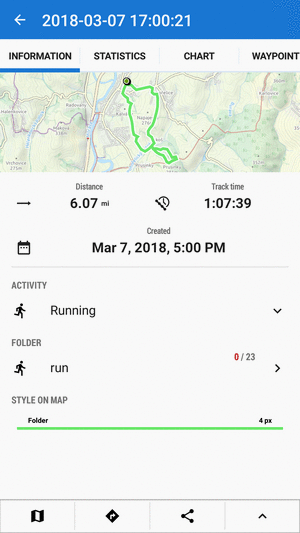
Import/export your activity in Garmin FIT file
Garmin devices are not our competition (OK, they are, a little bit :)) and we aren’t against cooperating with them – we can’t be. Therefore, we added full support of Garmin FIT format both for import and export of tracks. FIT files allow you to track your physical activities over time. For example, you can upload exported FIT file to Garmin Connect each time you run and review traveled paths on a map and the total distance, duration, and burned calories for each activity.
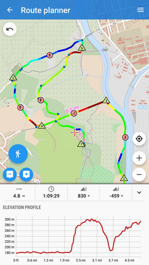
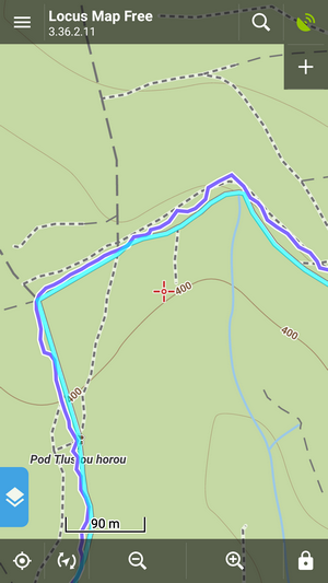
Manual segments in route planner colored by elevation
Locus Route planner manual drawing mode has been very useful for planning trips in free terrain without road network. However, until now, it wasn’t possible to color the route line by elevation. Thanks to our genius developers, we managed to tackle this problem and direct lines between two shaping points drawn manually now display elevation in colors. Which is very useful for decent route planning.
“Invisible” improvements
GPS location filtering
If you’re not a GPS insider you even don’t have to notice this feature. However, this enhancement can be pretty visible, especially when you can directly compare GPS track with and without it switched on. You know, there can be troubles with wrong GPS data in bad weather, difficult terrain etc. GPS horizontal filter can reduce these unwanted effect to a minimum:
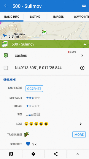
New Geocaching API
Despite almost nothing has changed on appearance and functioning of our geocaching features, the inside part of them was completely rebuilt. The reason for this was a new API that is compulsory to be used in GC apps according to new terms of Groundspeak – geocaching game owner. At least, now you can download your personal notes from Geocachnig web to Locus:
20% OFF SALE on all BackRoad MapBooks maps of Canada!
Apparently, the spring is coming to Canada too. Guys from BRMB feel like expressing their joy with it by offering their fabulous maps to you with 20% sale. If you’re heading to British Columbia for spring vacation, you’ll surely appreciate it!


14 Comments
Do you now also use fit for Strava export? It should be able carry also data from speed sensor, which seemed to be missing in GPX.
Hi,
for direct export of activity from Locus Map to Strava we use dedicated Strava API. If you need to use FIT format, export your activity to a FIT file and import it to Strava at Strava website.
Thinked i have seen GPX as source on Strava page for activities exported from Locus before. Checked and don't see it there. Maybe change of behavior on Strava side.
Dobrý den, rád bych se zeptal jak nastavit funkci horizontální filtr GPS, kterou popisujete v části Neviditelná vylepšení. Děkuji
Dobrý den,
možnost najdete v nastavení Locusu > GPS a senzory > Filtr polohy. Nabízí se nastavení 3 stupňů intenzity filtru.
Not interested to buy. Is it free? I can accep this offer.
There are two versions of our app - free of charge Locus Map Free and paid Locus Map Pro.
To be clear, with this latest update, is GPS location filtering "on" by default?
Hi David,
location filter is "off" by default. Turn it on in GPS&sensors settings.
Love the new import export .fit files. You guys are the best!
Kiedy naniesiecie te single? https://www.facebook.com/pasmoroweroweolbrzymy/
Hi Adam,
we are not mappers, we are app developers. Our LoMaps are rendered from OpenStreetMap project. When the singletrails are inserted in OSM data then they will also be available in LoMaps.
Zatím super 😉
Děkujeme Zdenku za podporu.