Recently, several of our map partners have released a number of new maps as well as updates to existing titles.
Compass – a tourist classic
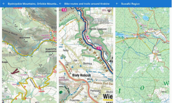
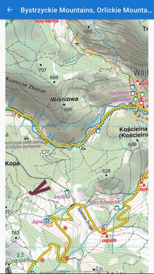
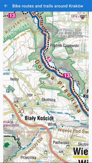
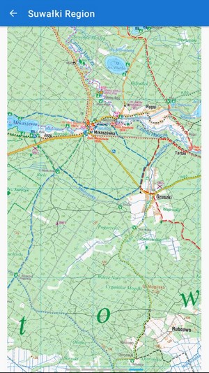
The traditional Polish cartographic publishing house has been offering its maps in Locus for several years. Their nice and easy-to-read maps are very popular, not only at their home in Poland. In addition to the basic rich topographic layer, the maps also show marked hiking trails and bike paths, tourist huts and shelters, and other amenities for an active stay in nature. And not only in the mountainous regions of the Polish southern border but also in large areas of the interior, rich in forests and lakes.
Compass has recently released several new maps for use in Locus:
- Paths and bike trails around Krakow
- Suwalki
- Bystrzyckie and Orlickie Mountains
Recently, the already introduced titles were updated: Beskid Śląski i Żywiecki, Dolinki Podkrakowskie, Góry Stołowe, Karkonosze, Podhale, Tatry, Orawa, Spisz, Pogórze Przemyskie, Góry Sanocko-Turczańskie, Beskid Sądecki, Bieszczady, Bory Tucholskie . Since February we have updated Beskid Mały, Beskid Sądecki, Beskid Wyspowy, Gorce, Jura Krakowsko-Częstochowska, Masyw Śnieżnika, Góry Bialskie, Pojezierze Olsztyńskie, part of the south, Ponidzie, Puszcoj Białowia Zuszcza Białowka, Ziemia Kłodzka .
Onmaps – news from Germany
Recently, onmaps from the German manufacturer GeoGLIS were added to Locus Store. They are available online and for offline download, in a wide range of scales from 1: 10000 to 1: 1000000. They are based on ATKIS + ALKIS data from the German Federal Cartography and Geodesy Agency BKG , combined with data from official national map organizations of individual states. The overall appearance is similar to BGK’s DTK maps – maps contain a detailed road network, topographic drawing, contour lines, information on land types, and landscape features.
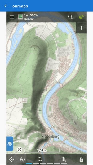
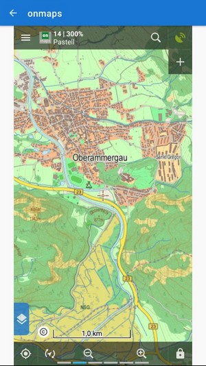
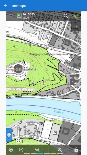
Maps are available as part of a monthly and now also an annual subscription. The subscription contains the map topics “Pastel“, “Dezent“, “TK25” and “Dezent mit Höhenschummung“.
Cartographia – Hungarian number one
Recently, detailed tourist maps of Hungary by the cartographic publishing house Cartographia have undergone another major dose of updating. Maps are among the most popular in Locus and have long been number one on the Hungarian market. They contain, on the one hand, a very nice topographic drawing, faithfully depicting the landscape, and also a dense network of paths for hiking and cycling – marked trails and footpaths, pilgrimage trails, nature trails, and bike paths.
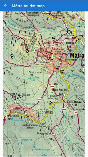
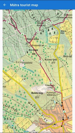
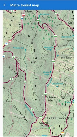
In addition to the road network, there are many points of interest – tourist attractions, sports and recreational facilities, campsites, views and lookout towers, tourist cottages and shelters, and the like. If conditions allow this year and you are going on holiday to Hungary, maps from Cartographia are a unique choice.
Cartographiacompassmap newsoffline mapsonmaps


1 Comment
Good