Ordnance Survey
Maps of Great Britain, combining data of two major OS paper map series - 1:50.000 scale Landranger and 1:25.000 Explorer.…
Read Story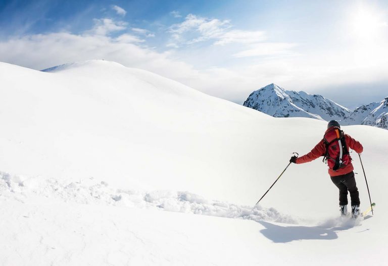
Skiing >>
winter theme of LoMaps with pistes and groomed ski trails slope gradient coloring for ski mountaineers 24/7 worldwide weather forecast
Read Story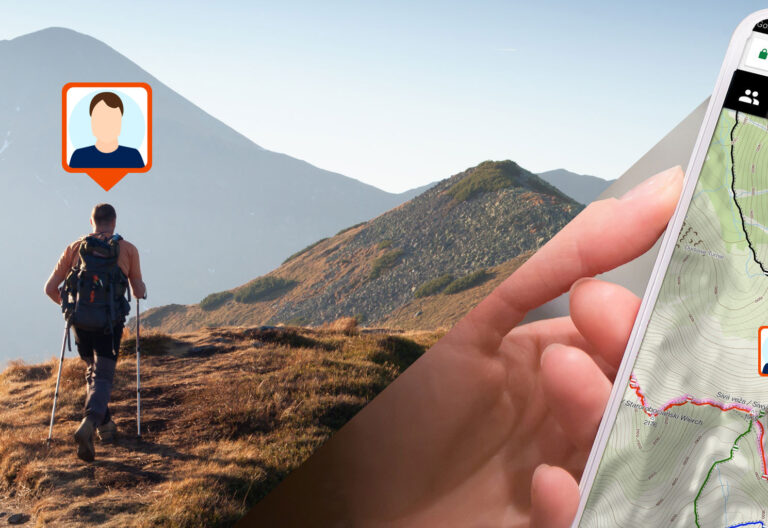
Go live
Share your location in real time with your family or friends in your own private groups. Nobody else will spy…
Read Story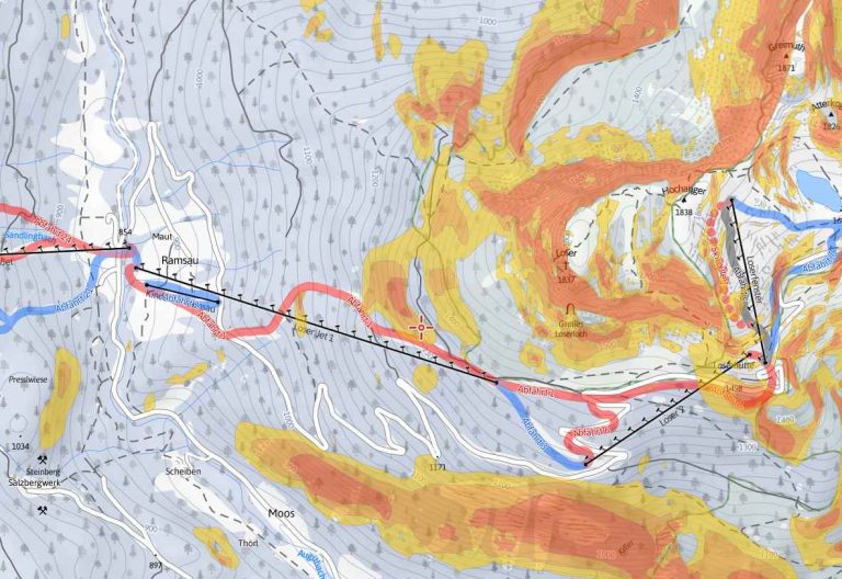
Outdooractive
Maps are available in Summer and Winter versions, covering Austria, Germany and Northern Italy. Summer maps display a rich set…
Read Story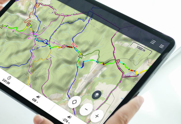
Plan your routes like a pro
Get the best route for your trip with our enhanced route planner. Draw and drag the route line wherever you…
Read Story
Sport packet
Connect BT sensors on your bike, record tracks with multiple profiles, monitor your rides on dashboards using handsfree screen control.…
Read Story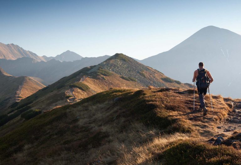
Hiking >>
great selection of the best quality offline hiking maps intelligent battery-saving GPS mode offline route planning multi-profile track recording navigation…
Read Story